I woke at just gone midnight on the Sunday night….was it a recurring dream? Screaming banshees in the rigging, pink ball like objects bobbing about in the sea and….. worst of all… being holed up in Ramsgate… a gale warning and lobster pots!
5am came and time to get ready for the last day. It seemed to take ages to get on the web and check the 6am Met Office inshore waters forecast for North Foreland ( where we were ) to Selsey Bill. Surprise…. no strong wind warning, no red line… must have been a dream. Surreal. Perhaps the weather Gods are going to smile on us today?
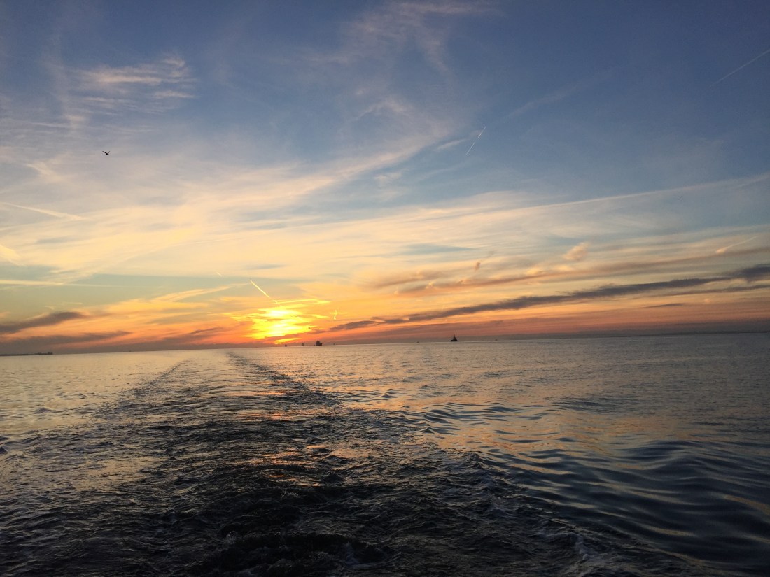
Went up on deck …. pitch black dark and dazzling port lights… but no wind, Poli Poli surprisingly still, no fender squeaks or slapping on the stern. Away to the east… the first tiny streaks of dawn. Final day… 60 nautical miles or so to home.
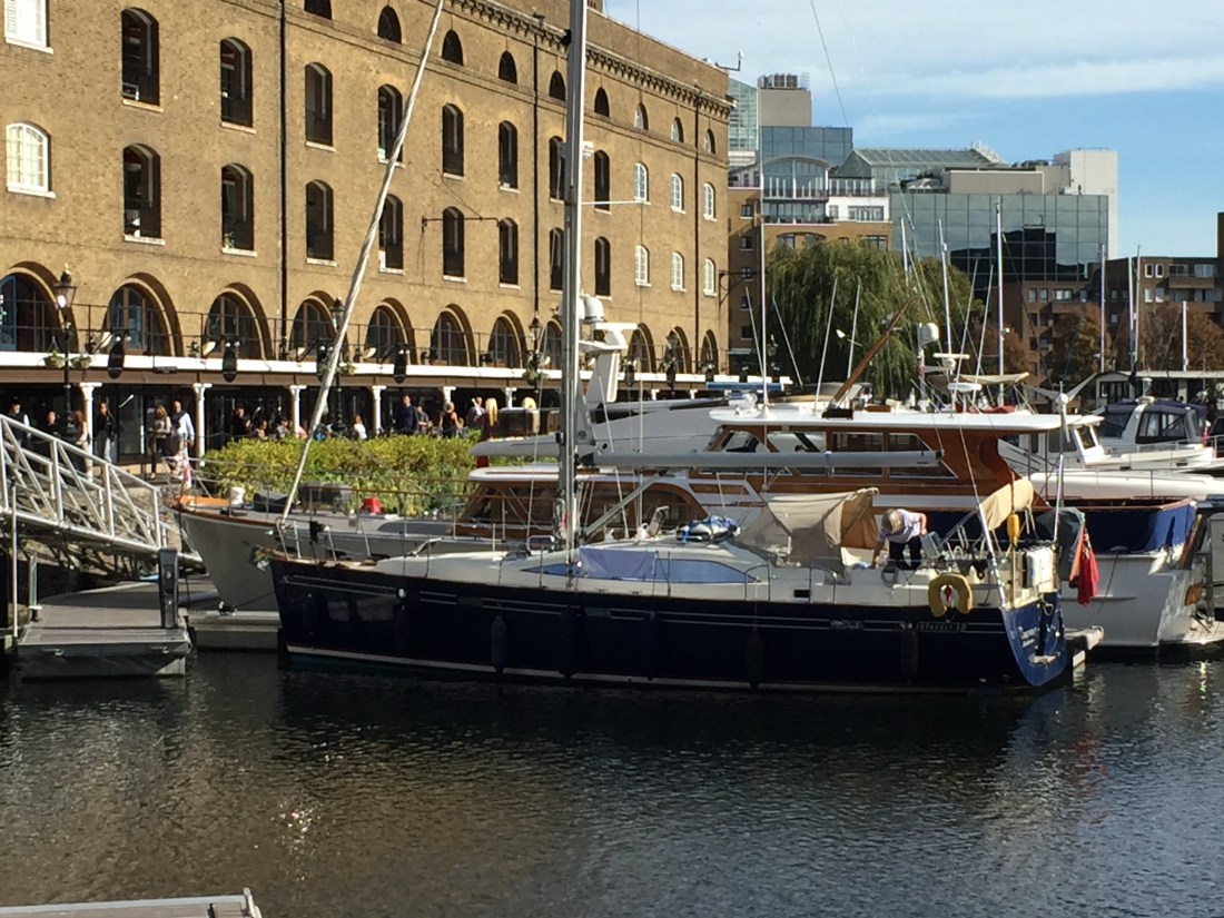
After showers and hot tea rations… we departed our berth at 7.30am and went to the marina fuel barge to fill up with diesel. By 7.55am we were all done, and Poli Poli chugged out of the Royal Ramsgate Marina. We headed west out along the the red and green buoys of the Ramsgate shipping channel… staying to the right as the regulations require. Passing incoming fishing boats returning from a night’s work out in the Dover straits or beyond, Poli Poli bounced from the wash of a fast orange and black pilot boat… having delivered a pilot and guide to one of the big ships in the Thames Estuary.
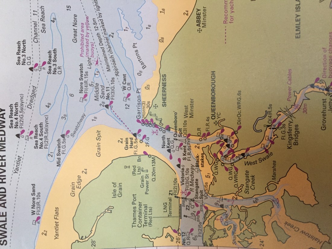
There were essentially three parts to our planned route south to Eastbourne…. firstly to find and then navigate the inner channel that avoids the infamous Goodwin Sands which lie due south of Ramsgate and run all the way south to just above the port of Dover.
The Goodwin Sands are ten miles long and five miles wide…. and are the graveyard of many a ship… large or small. There are more than 2,000 ships that have been wrecked on the Goodwin Sands….why? Well these sands are very close to the major shipping lanes ( the Straits of Dover ) which are considered one of the busiest in the world…. and the prevailing winds are south westerlies… meaning onshore or towards the Goodwins. The Straits also act as a funnel for the tidal movements… so the tides here are much stronger than elsewhere. So traffic, wind and tide conspire to create very dangerous conditions for sailors.
At low tide both the Goodwin Sands are visible and the remains of at least two wrecks can be seen. Two American cargo ships were wrecked here in 1946…the ‘North Eastern Victory’ and the ‘Luray Victory’. The Walmer lifeboat attended ( from near Deal ) and saved the entire crews of both ships. On a clear day the tops of masts and their kingposts can be clearly viewed.
On a lighter note… a cricket match was always held on the sands in the summer up to 2003 ( as is also held on the Bramble Bank just north of the Isle of Wight to this day ). Various plans have been put forward … mostly controversial… to exploit the sands….an offshore airport and a deep water harbour for large ships. All such ideas have come to nought.
Currently there is an ongoing controversy raging re the new planned marina and port extensions at Dover Harbour… where plans to dredge the Goodwin Sands and use the vast amounts of sand and gravel ( thus disturbing the graves of thousands of sailors ) in the construction sites in Dover. This has become both a political and environmental row of some intensity both locally and in the region as a whole.
So how do we avoid becoming a victim of the infamous Goodwin Sands? There is now a well marked channel on the inside ( to the east ) between the coast of west Kent and the sands themselves. This passage is known as the Brake or Gull Stream and is well marked with green, red and cardinal buoys… which if located and followed dilligently will take a vessel safely from Ramsgate to just north of Dover. This we did in Poli Poli…. and with a strong following tide the passage south took no time at all.
En route to Dover via this channel you pass across Sandwich Bay, Deal, Walmer, Kingsdown and finally St. Margaret’s Bay…. before rounding the white lighthouse at South Foreland ( the first in the country to use an electric light )…and thus then you stare straight at the very busy ferry port of Dover with a little trepidation.
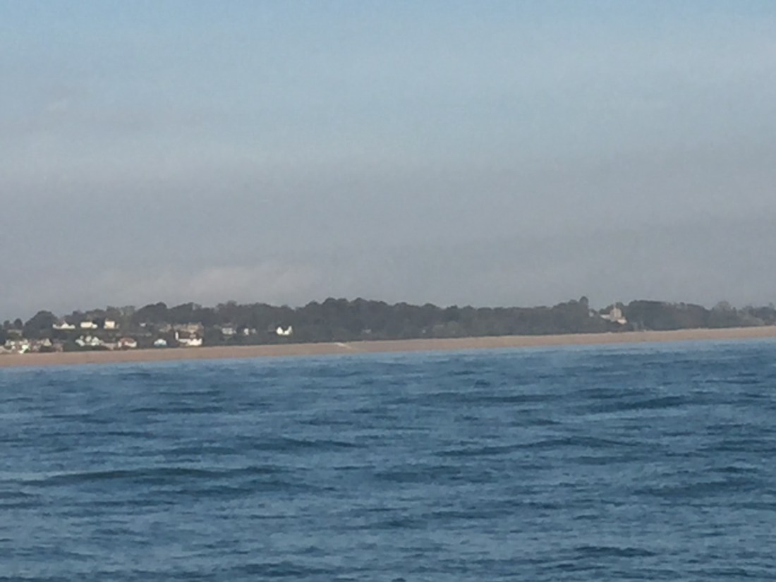
The photo below was taken just before we reached South Foreland…it shows Walmer Castle and Walmer Beach from where the Walmer Lifeboat rescued many a sailor from the nearby Goodwin Sands. I trust my good friend David Aggett will recognise the beach!
Poli Poli had to cross the ferry entrance of the busiest port re ship movements in the UK… ie Dover. The port lies at right angles to the Dover Straits… every 24 hours there are 300 plus big ship movements up and down the dual carriageway ie the two shipping lanes….and then between Dover and France/Belgium there are 80 plus per day ferries crossing at right angles to the main shipping lanes. Poli Poli had to navigate across the ferries coming in and out of Dover… timing is everything.
All commercial vessels are by international law, required to transmit a special signal which then appears on the chart plotter on Poli Poli as a single black triangle ( called AIS ). We can then interrogate speed of vessel, heading, type, destination and most importantly distance away and time away from Poli Poli …known as CPA or closest position of approach. On our screen I can see all these black triangles moving about… in and out of Dover. I get a good picture of which ferries present a possible danger, which ones I need to avoid and which ones I can safely disregard.
Thus we negotiated the entrance to Dover Harbour…avoiding at least three ferries…two entering and one coming out. So the first part of the route was safely completed…. the Goodwin Sands and Dover Harbour.
Once beyond the west harbour wall at Dover, you put the heading on the lighthouse at Dungeness…. a straight route of about 18 n. miles heading south west across Hythe Bay to the headland and lighthouse at Dungeness.
The photo below shows the chart plotter as we approach Dungeness… thats the bit that sticks out into the English Channel.
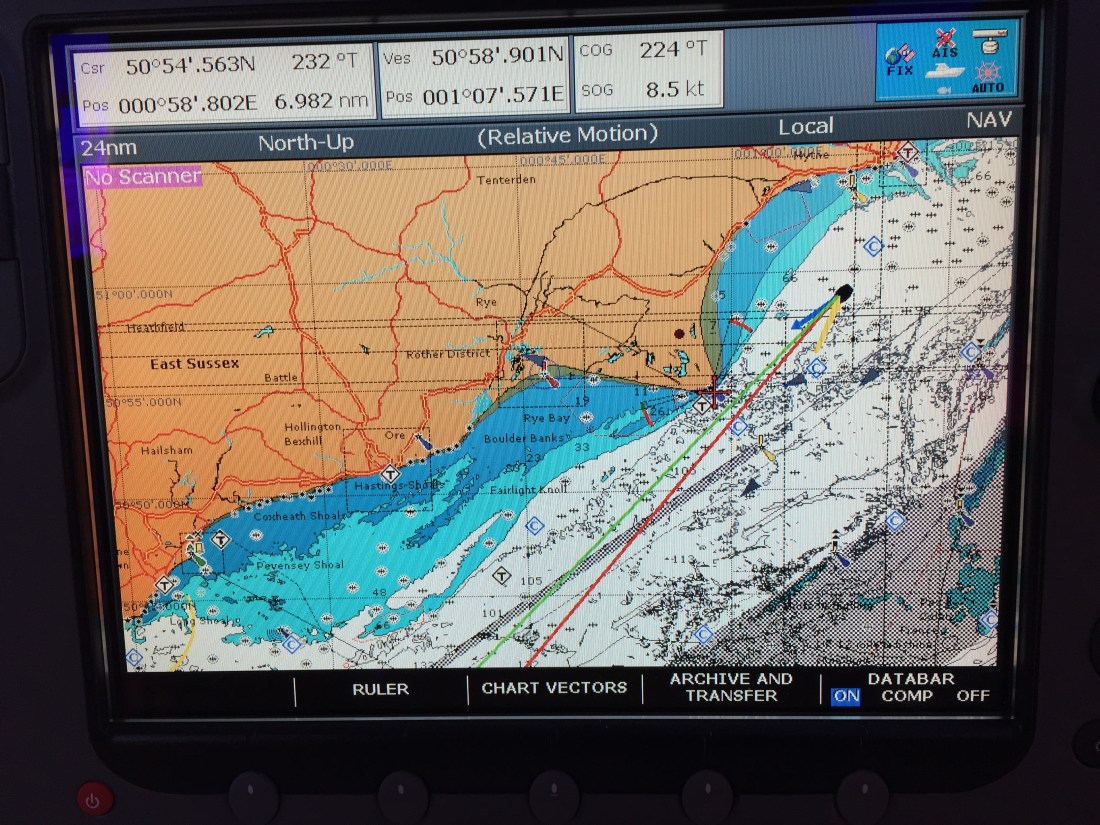
En route you pass Folkestone ( where the Channel Tunnel passes under you ), then Hythe and New Romney…. before the two lighthouses of Dungeness appear. In this section you also have to be aware of two MOD firing ranges…. the Hythe and Lydd military practice ranges. Lydd and its small airport lie a little inland.
Dungeness is a headland on the coast of Kent…formed largely of a brilliant orange yellow shingle beach…. where not only stand two lighthouses ( the old and the new ) but also two nuclear power stations which you can see for miles. One of the power stations is known as Dungeness A, built in 1965 and the other, known as ‘B’ built in 1983. The older one closed in 2006 and the newer one still operates…. EDF ( a French company ) runs Dungeness B.
We passed offshore about a mile from the two gigantic buildings….one looking sad, unloved, and rusty and the other in fresh light bluey green livery…. but what was surreal… was the silence along with the absence of any visible human beings at work. Eerie……
Once beyond these two huge blockhouses, we set the final course for the last third of the journey… a straight line across Rye Bay ( where we say goodbye to Kent and hello to East Sussex… our home county ) to the Fairlight Headland at Hastings…. then west sou west to St. Leonards on Sea, passing Bexhill on Sea and finally, counting off the Martello Towers of Pevensey and Norman’s Bay… we arrive at the entrance to Sovereign Harbour in Eastbourne.
When we had reached the entrance channel marked by the Fairway or Safe Water Mark ( red and white stripes ) and headed into the harbour via the green buoys… we finally crossed our outgoing track of Sunday 27th May, 2018 when we departed for Brighton 142 days previously. The Circumnavigation Circle had been closed at exactly 4pm.
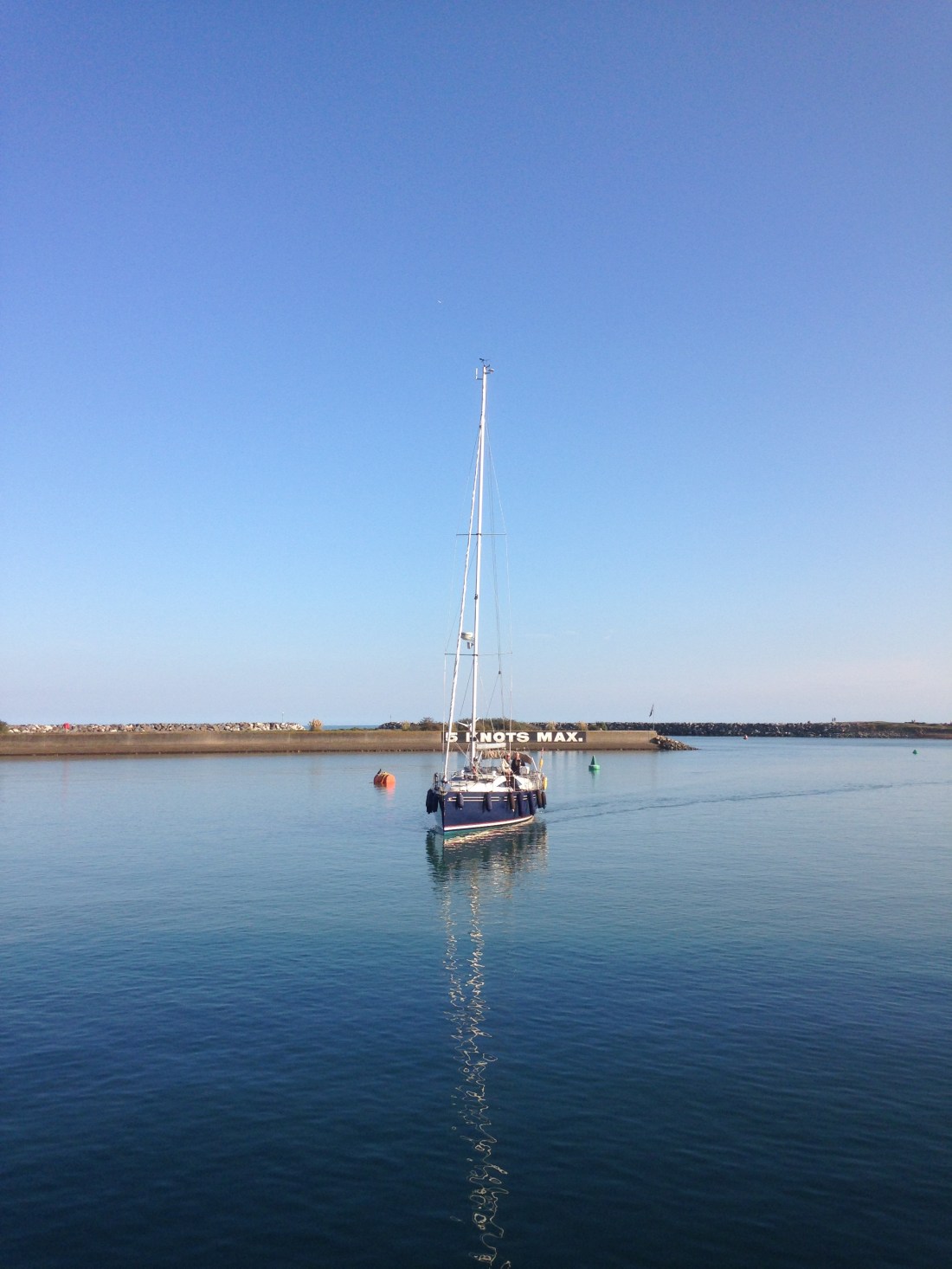
The photo below shows Poli Poli in the entrance channel at 4pm..coming up to the lock. Look at the blue skies, the stillness of the water… no wind. A perfect weather day for our final day.
A small but happy, cheering band of followers…. friends and family of both Mike and myself stood above the welcoming lock gates of Sovereign Harbour… waving a banner and holding up shiny balloons. I had ordered the Red Arrows and the Battle of Britain Memorial flight plus two lifeboats with fire hydrants and a water arch to pass under…. but the little cheering gathering on lockside was just as good. We were home after 142 days at sea.
Some of our small band of well wishers…. Bridget, Ann, Ros and Margaret on the lockside as Poli Poli entered the lock at Sovereign Harbour.

Oops…. the welcome party…. note the red arrows on the banner made by Richard. the next photo shows Poli Poli reversing into her berth at North Harbour where lots more family and froends were waiting. Here Christine and Jonathan are assisting Mike with the docking lines.
Distance sailed Ramsgate to Sovereign Harbour, Eastbourne: 64 n. miles.
Note banner …. UTM…. ‘Up the Mariners’ and Red Arrows.
Total and final distance of the Circumnaviation: 2,747.70 n. miles.
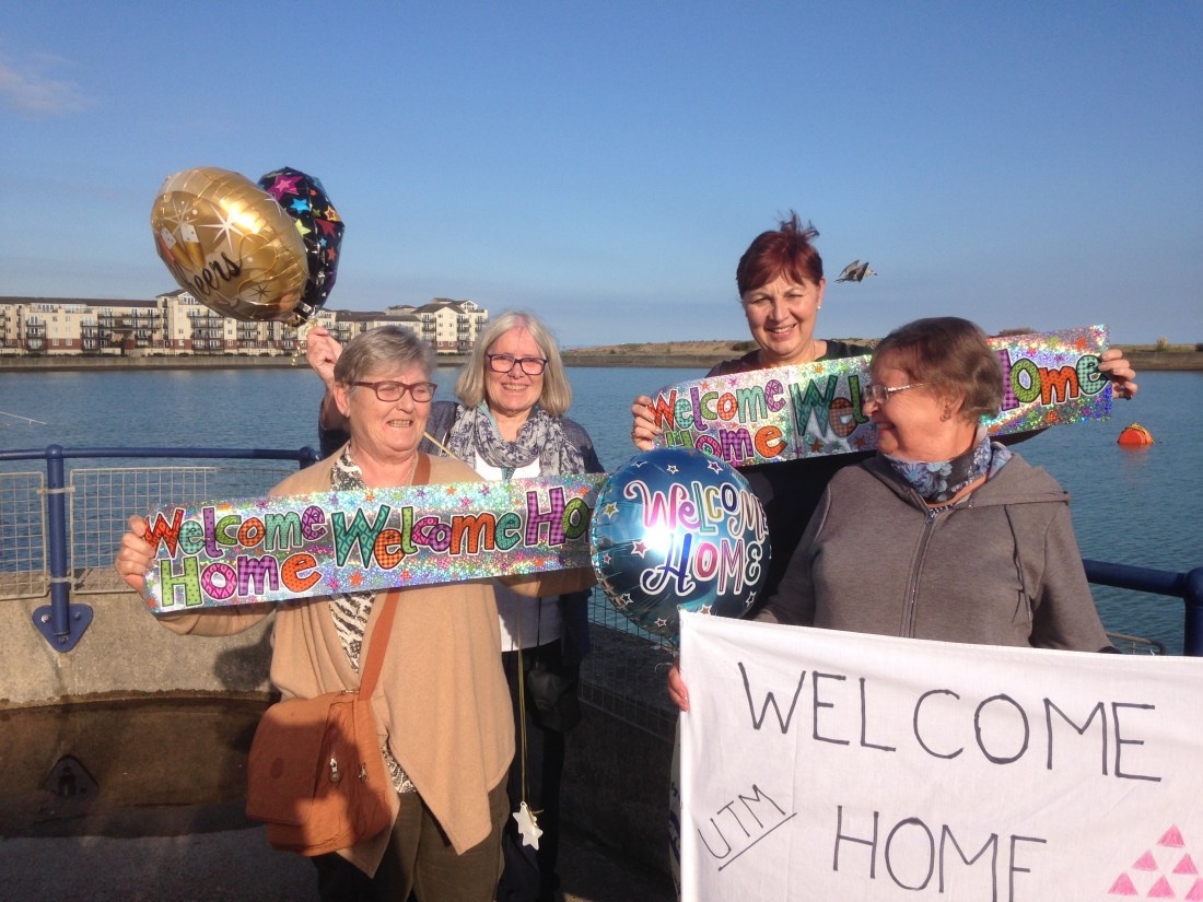
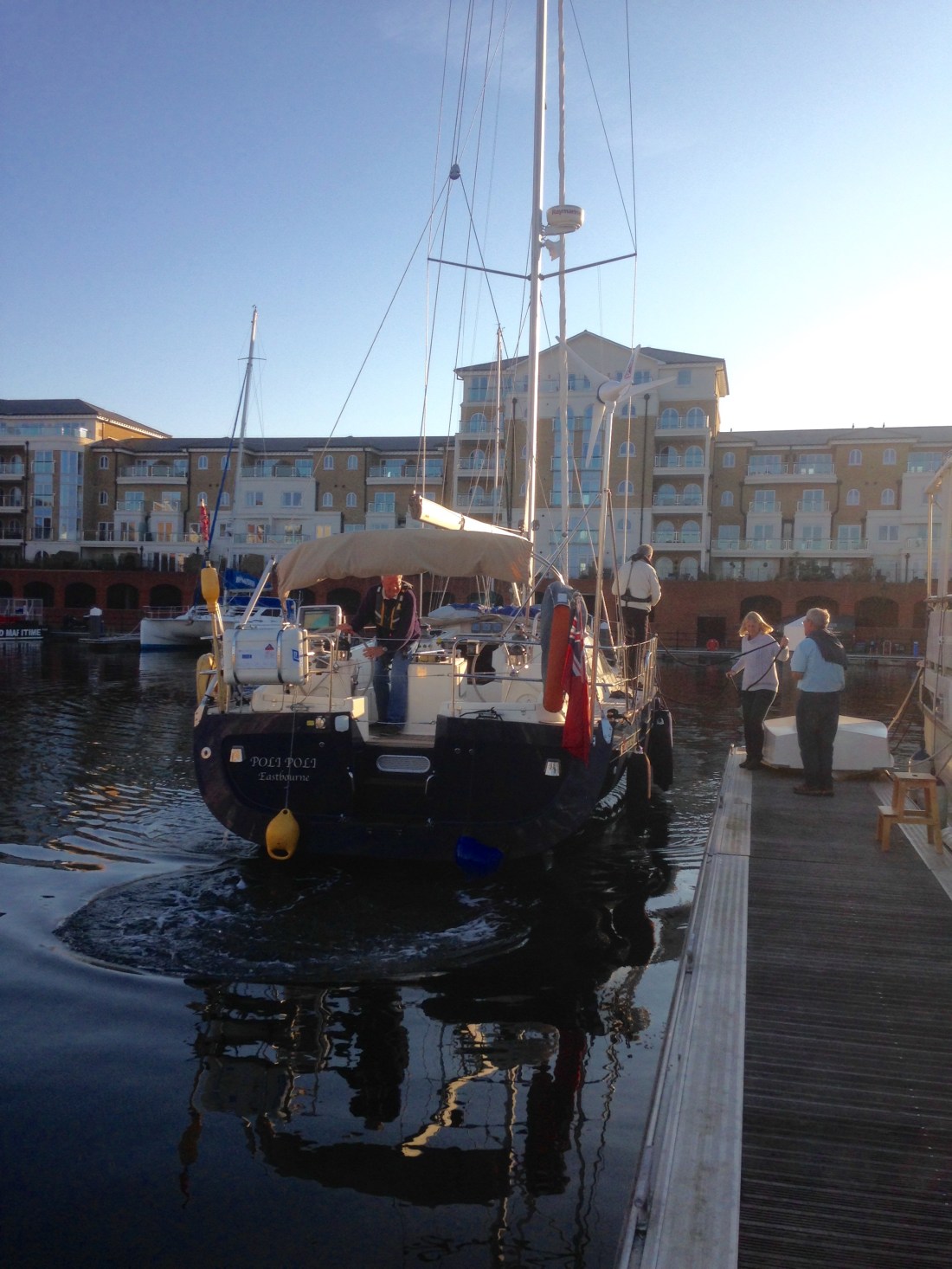
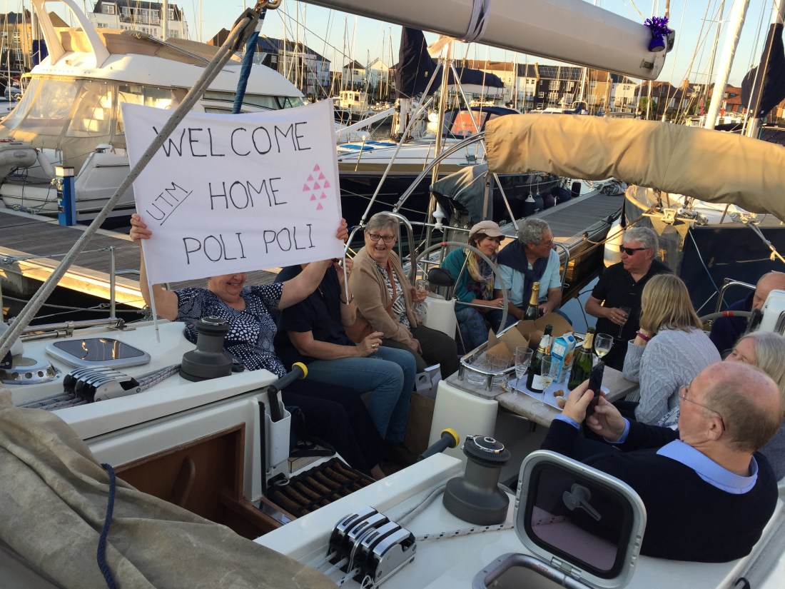
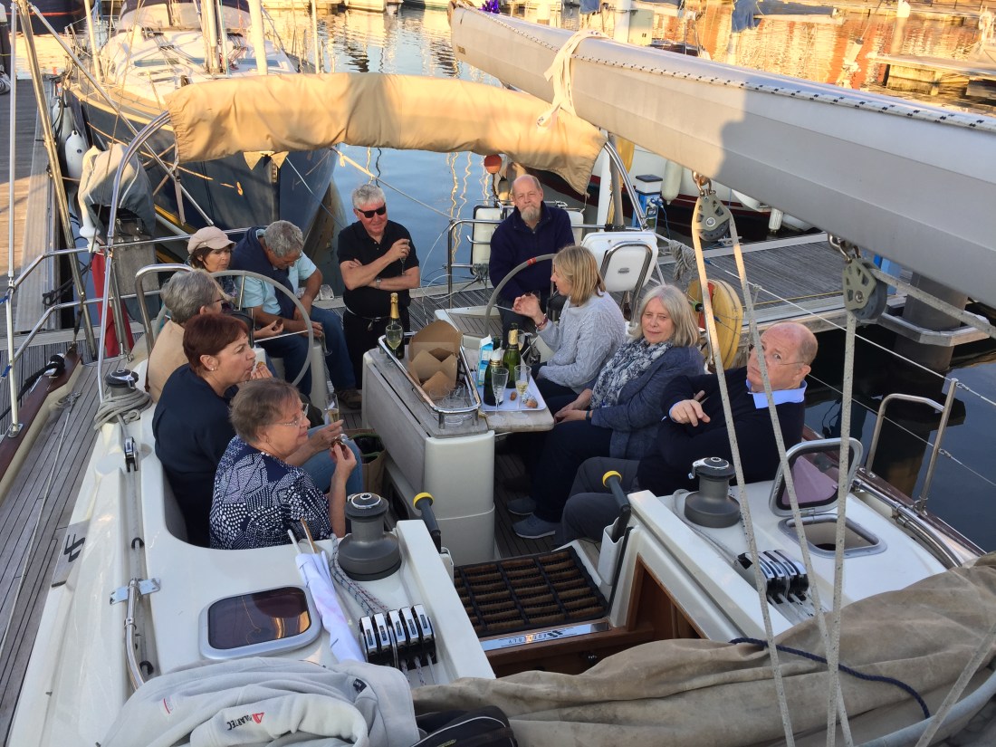
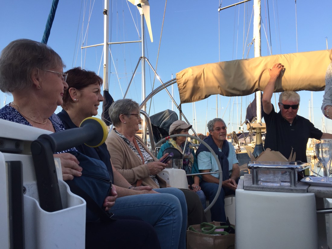
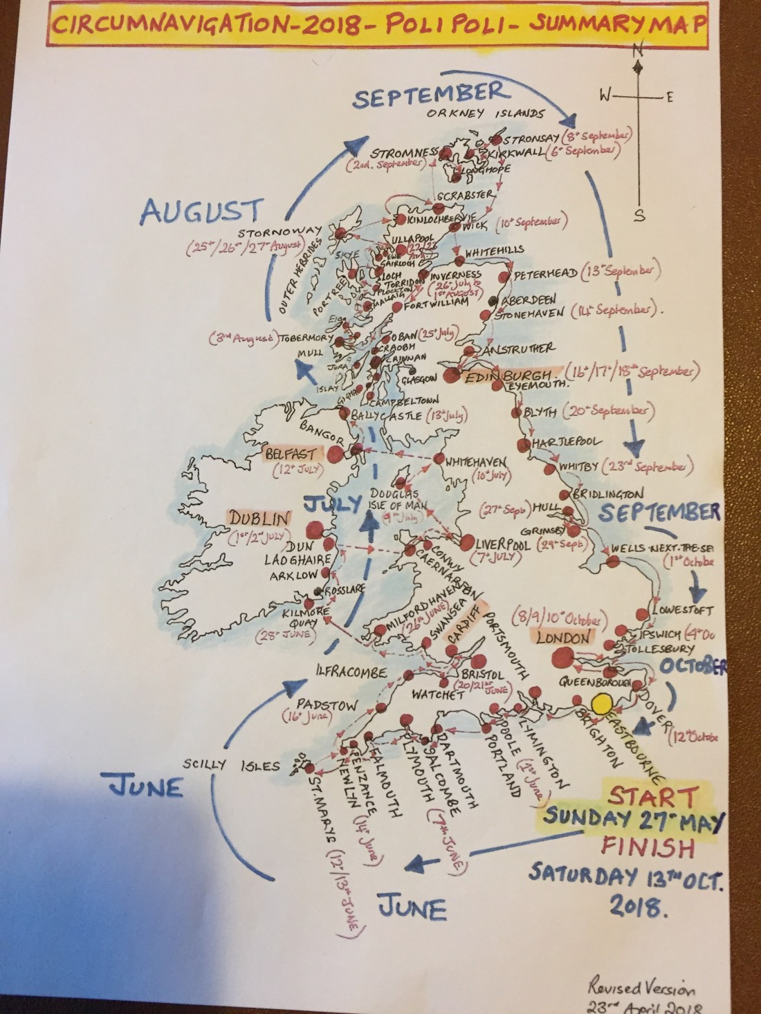
Photo below of the original map showing a summary of the Circumnavigation route with dates. As you can see …only two days late!!


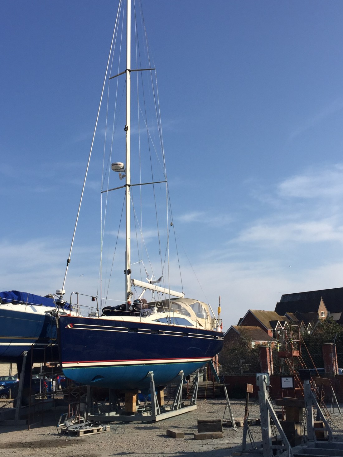 Above photo…. Poli Poli in the boat yard at Sovereign Harbour, Eastbourne up until Saturday 18th May this year. She went back in the water and we left for a south coast “shakedown sail” on Wednesday 22nd May… visiting Brighton, Hamble Le Rice, Poole Harbour, Portland, Dartmouth, Salcombe and finally to Plymouth arriving on the 28th May. Six sailing days from Eastbourne.


 So Leigh on Sea passed us by on the starboard side…. the light now revealing the coast line on both sides of the estuary. On the port side….another MOD firing range… could not quite understand why so close… located on St Mary’s marshes. Various large ships lined up behind us…. obviously vacating the overnight boat park … dredgers, container ships, oil and gas tankers and all manner of tugs towing huge barges. From an empty estuary by 7am the deep water channel was buzzing with ships.
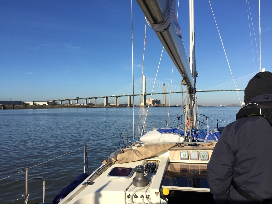 In bright warm sunshine now, we passed under the enormous expanse of the Queen Elizabeth Bridge. ( photo above ) …. arching above us…. no problem with worries over air draft. You could probably have fitted four if not five Poli Poli type yachts on top of each other and still had space to spare…. looking up it was difficult to imagine that there were six lanes of traffic overhead on the M25.