

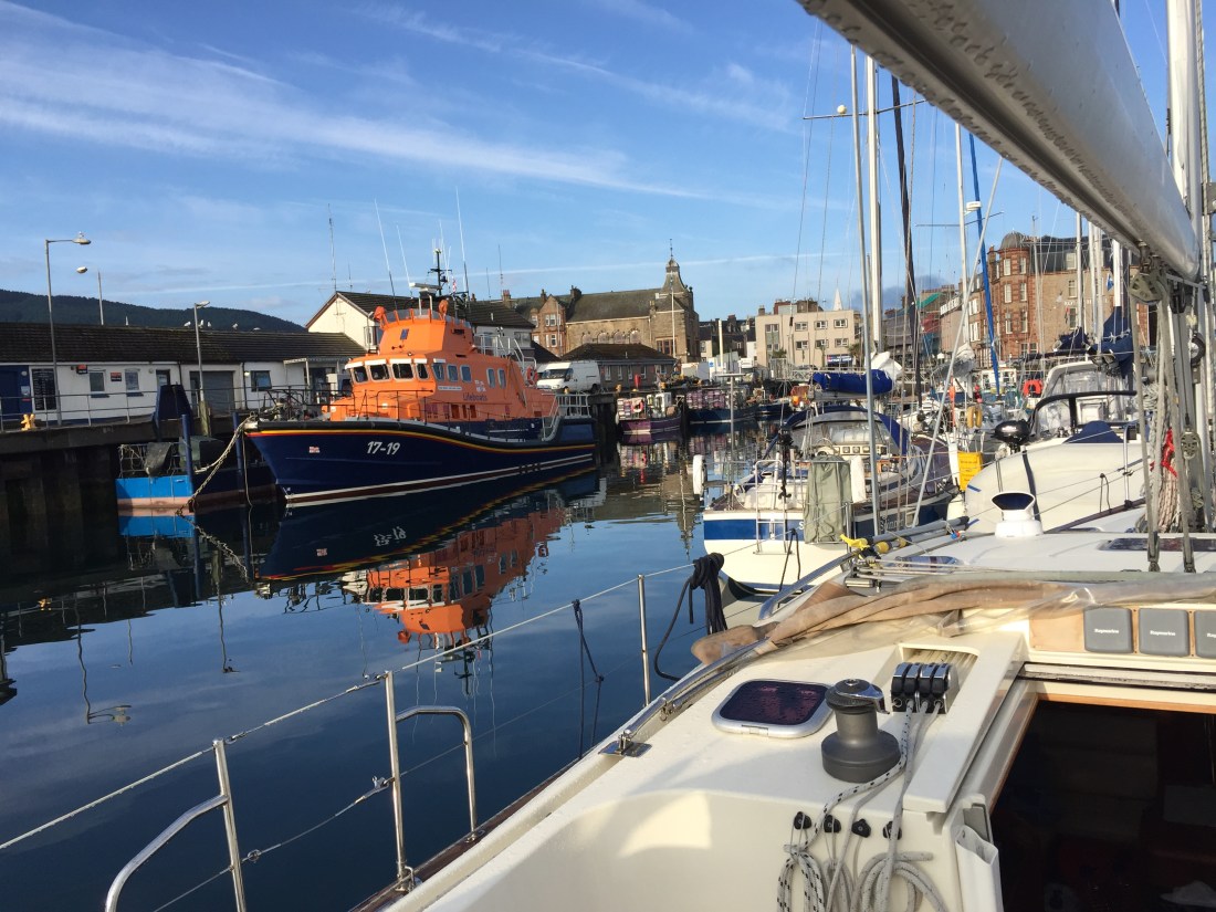
Heavy overnight rain hammered on the the coach roof in the early hours. On the quayside next to our mooring was the Campbeltown lifeboat resplendent in its livery of orange and Oxford blue.
Unfortunately the Lifeboat coxswain had left the VHF radio switched on inside … so all night there was this ongoing commentary from all the local coastguard stations with the various lifeboats…. chatter, chatter. What made it worse was that the VHF radio was live on the outside and upstairs fly bridge helm station at the top of the life boat… so everybody could hear the through the night on going radio traffic! So that and the rain drops……
Morning was sunny, dry and once again very still…. which means windless. Both myself and Mike managed to have a shower in the one available shower ( very bad… poor provision of facilities, not a good rating for Campbeltown at all ).
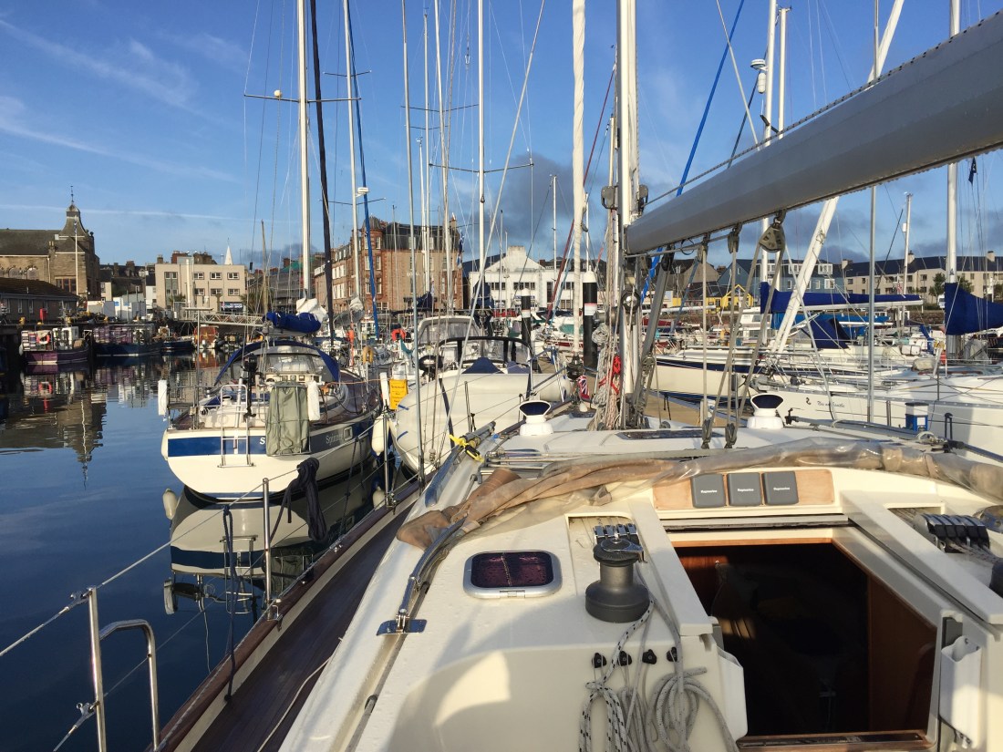
We departed our berth at 8.20am by “springing off ” at the bow ( the front end is held in and the back end pushed off so you can then reverse out at an angle ). Poli Poli was in an extremely tight alongside berth with boats at each end. The yacht behind us had a pretty big overhanging dinghy… which would have made it extremely difficult to get Poli Poli out. But we did it.
Poli Poli jammed in for and aft by boats rafting up… Campbeltown Marina, on the Mull of Kintyre.
We had planned to leave by 9am to catch the northbound tide up the side of the Mull of Kintyre to Tarbert. The measured distance was 33 n. miles and we estimated about four and a half hours. However, the windless conditions did not allow any sailing to take place. For some time now we have been plagued by still days… or just enough wind but from the wrong direction. So the boat stayed level and we averaged 7 knots per hour over the duration of the journey.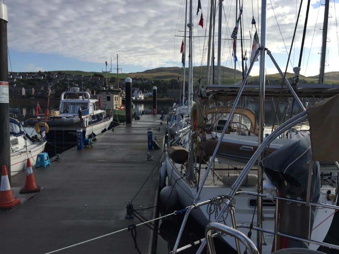
Our pontoon… a rain sodden walkway, Wednesday morning at 6am…. the time I went for my shower. Limp flags mean….. no wind.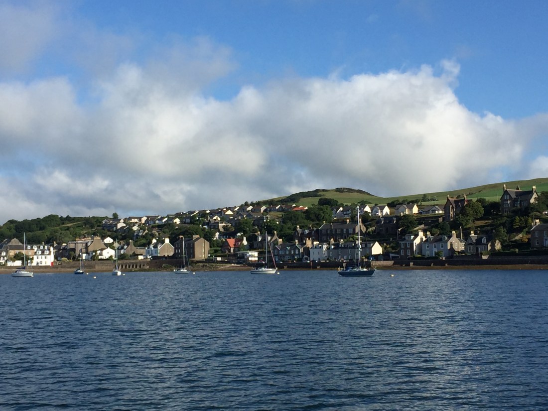
Leaving Campbeltown behind us as left …. you have to sail out of the Sound ( small loch ), passed the Davaar Island and lighthouse then turn north up the Kilbrannan Sound which is the narrow body of water between the Mull of Kintyre and the island of Arran to the east.
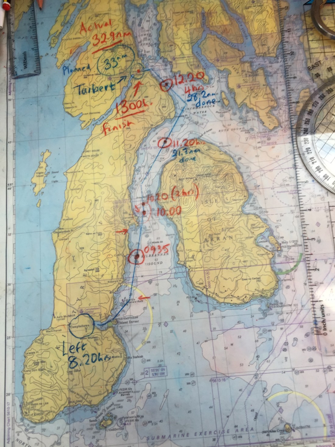
Above is a photo of the actual Admiralty chart used today. It is overlaid with a plastic cover upon which, using a china graph pencil, you can annotate or make notes. You can see that we plot our position on the paper chart every hour plus the distance covered and time. Done this way it presents a good visual check on position and progress towards your destination…. and if ever the GPS and electronic chart plotter were to fail… you have a good idea where you are at the last hour mark.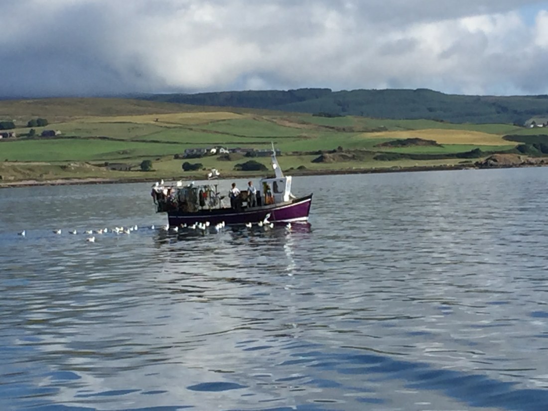
We passed numerous fishing boats on our way north…. this one surrounded by sea gulls. This often indicates that the fishermen are either gutting and cleaning the fish they have caught and throwing the entrails into the water or they are baiting their lobster pots and chucking old bait ( usually old smelly fish )back into the sea… and of course the seagulls arrive. Much the same as in the old days the seagulls followed the horse and plough…. and today, they still do… except its a Massey Ferguson or John Deere! Look at the sheen on the water and the green countryside of the Mull of Kintyre in the background.
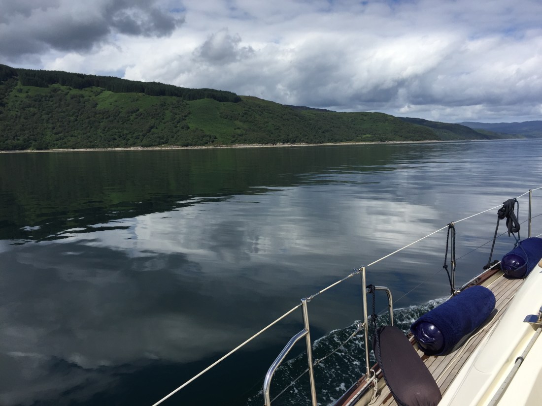
The last four or so miles…. now entering Loch Fyne… look at the glassy water surface. Not a breath of wind. Easy to spot wild life though…. yesterday evening back at Campbeltown we observed two big, big seals very close to two moored trawlers in the actual harbour.
Today we saw two different groups of dolphins playing…. jumping out of the water… easy to spot when the water surface is so calm and still. however, the spoilsports declined to come and play at our bow.
You can tell we are coming into port from the photo…. mooring lines and fenders are already all set out. It was near here the second group of dolphins appeared.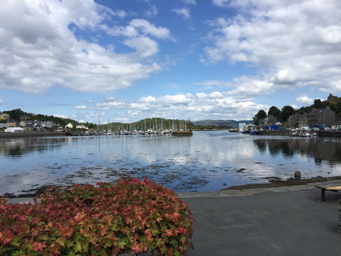
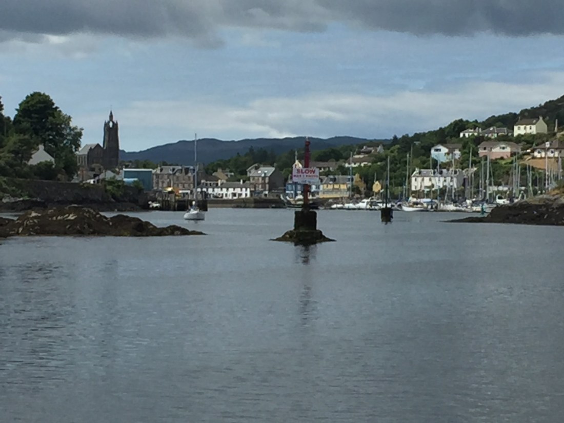
This is a view of East Loch Tarbert after walking back from the pub where we had lunch. We had arrived in the marina at exactly 1pm…. so 4 hours and 40 minutes from Campbeltown, a distance of 32.1 n. miles.
Tarbert Harbour is one of the most naturally sheltered harbours in the north west of Scotland…. surrounded by high hills on all sides except the loch entrance which faces east. Tarbert is a large village in a beautiful setting… the entire frontage of shops, hotels, pubs, cafes and restaurants form a sweeping arc at the head of the loch. We did view thousands upon thousands of acres of conifer plantations on the Kintyre peninsula as we journeyed north…. but here in Tarbert the surrounding hillsides are covered in swathes of natural deciduous trees… which gives the village a very natural feel.
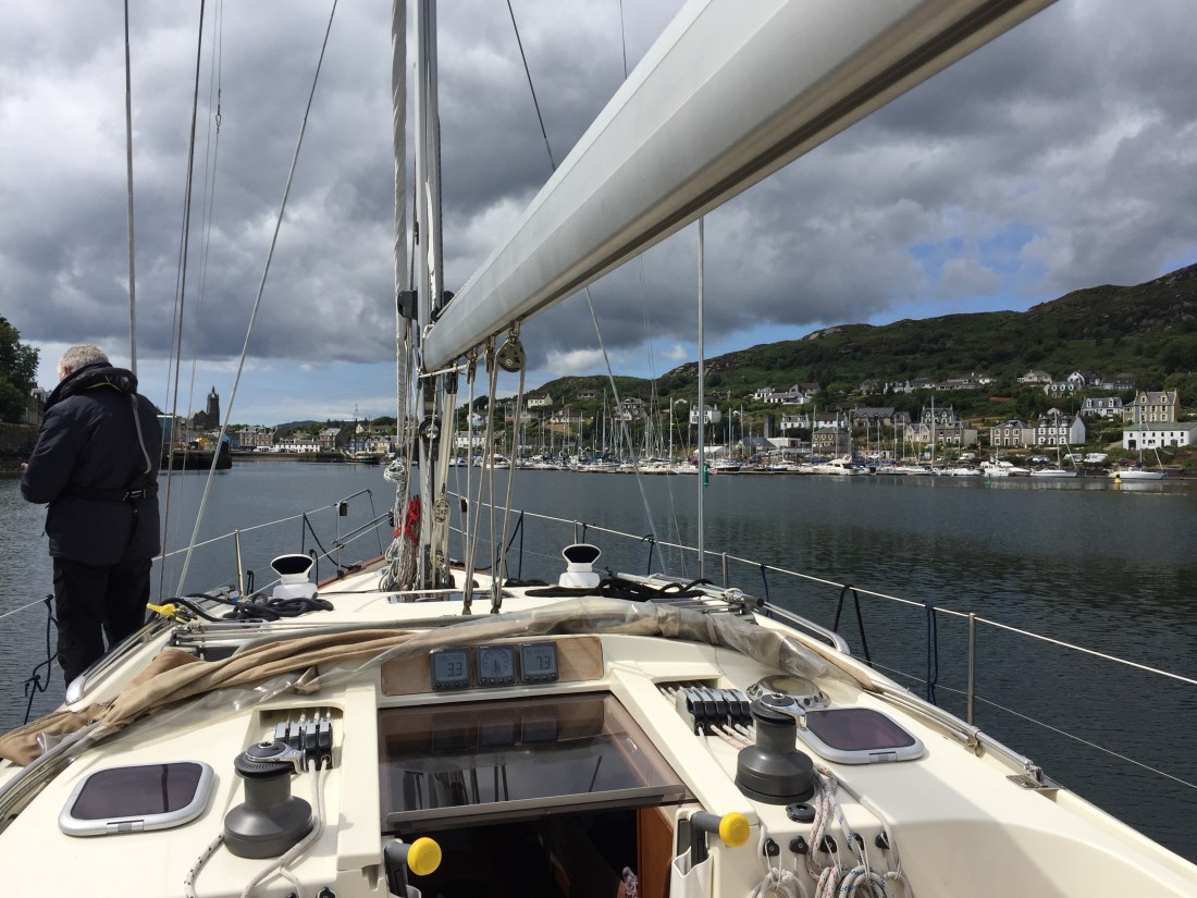
Two pics of entering East Loch Tarbert….. Mike standing by ready, but more importantly “eyeballing” for the helmsman!! The other pic… just a few rock hazards to be negotiated before actually arriving at the marina.
We have decided to spend two nights here in East Loch Tarbert… using the spare, gained day from cutting out the Whitehaven ( Cumbria ) journey. This will now put us back on track with the original version of Schedule Three. when we leave here, we will tackle the Crinnan Canal and carry out our first anchorage in West Loch Tarbert.
Distance from Eastbourne 1,341 n. miles.
