

The song mentioned above is for all “us” beige wearing wrinklies of the 60’s and 70’s music scene…
Anyway ….we got up at 4am today in the marina on Kerrera Island after a night of more rain and a slightly lower decibel screaming banshees through the rigging…again a Met Office fairly negative Inshore Waters strong wind warning…but decreasing. So the cockpit tent was removed, the shore power 240 volts supply disconnected and the port side mooring lines turned into “slips” …in the dark! We were going to leave today …come hell or high water!
And we did, slipping our lines at just gone 5am… the dawn just starting away to the east. Foggy, misty, poor visibility yes, but no wind and a very flat sea ( Margaret’s preferred sailing conditions ) …where was the Force 5 and 6 the Met Office had forecast?
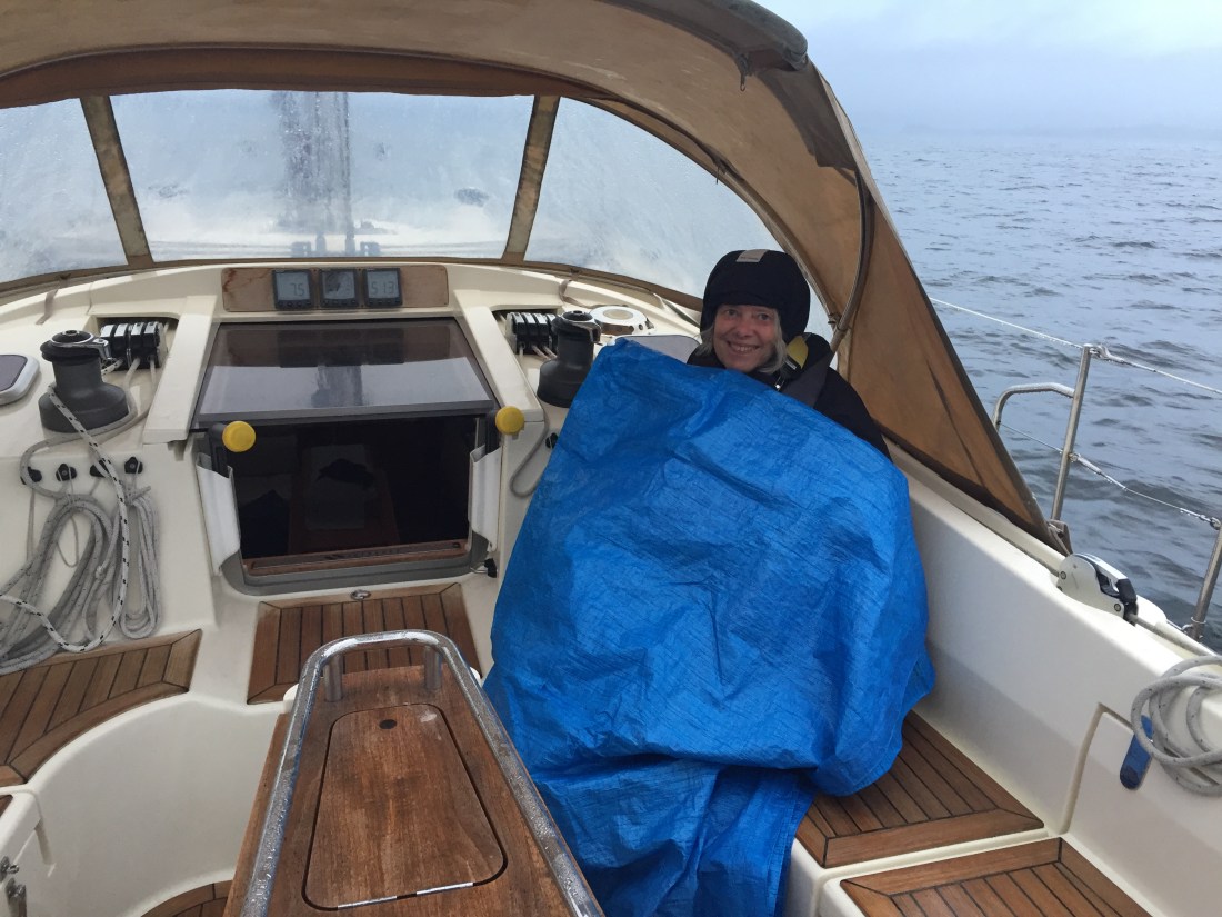 Margaret likes to be upgraded to a comfy blue blanket ( actually a tarpaulin ) in premium upper class! Her role on Poli Poli is to spot “overtakers” !
From Oban we motored ( not a breath of wind ) north up the Firth of Lorn to the Port Appin “narrows” between Lismore Island and the mainland of Scotland. As it was Chris’s first “sail” on Poli Poli we demonstrated the power of our in-built foghorn scaring the local black guillemots so much so that they all dived under the water simultaneously.
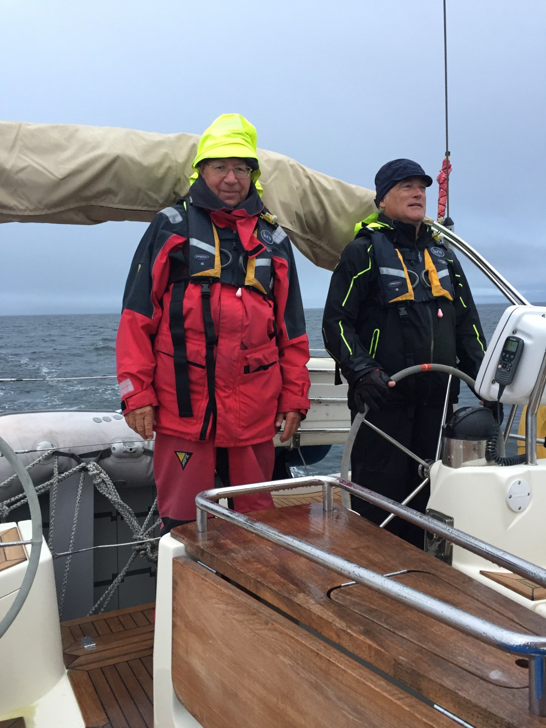
These two blokes are the forward lookers as Madge covers the view aft!
On both sides of the Firth of Lorn the hills were all shrouded in low fog and dense white cloud..the waters a steely grey colour..a pretty grey landscape to look out on. But as the Firth narrowed the land adjoining the sea started to green up and little white and black settlements appeared. Margaret was oggling these through the ultra high powered Steiner Binoculars to see if the Scottish locals opened their curtains as the same time as the English ie being nosy!
We decided to go round the beautiful green island of Shuna and then out into the deeper and wider waters of Loch Linnhe which seems to be a south westerly extension of the Great Glen coming down from Inverness to Fort William.

Looking south from over the stern of Poli Poli….the swirling fog, mists and cloud of Loch Linnhe.
In this big Loch we picked up an AIS target on a parallel track as ourselves heading north east up Loch Linnhe. It turned out to a 290 foot long cargo ship destined for Corpach… the same place as we were going. Instead of racing her, we fell in behind this large vessel and tracked her through the Corran Narrows… a serious tidal gate at the top end of Loch Linnhe just six miles from Fort William and Corpach.
As we approached the Corran Narrows with flood tide behind us…we noted we had a tidal stream of 2.8 knots ..which is an exceptionally strong tide pouring through a narrow gap not 300 metres wide. As expected we both saw and felt the eddies and whirlpools created by fast moving tide waters over a shallow and irregular sea bed. Even the big cargo ship was “skewed” on its port side. We coped whilst admiring the shapes and patterns on the glassy water surface.
Fast approaching Fort William on our starboard side now …unfortunately the mountain known as Ben Nevis ( highest in Great Britain? ) was covered from top to bottom in thick horrible grey cloud. Disappointing!
After a number of radio conversations with Scottish Waterways staff at the Corpach Sea Lock Office …in which the now very well worn joke of turning The name Poli Poli into Roly Poly …caused titters of mirth their end. Ha ha
We entered the Sea Lock at 9.30am … so four and a half hours up from Oban, a distance of 30 n. miles at an average speed of 6.6 knots. Following tide all the way.
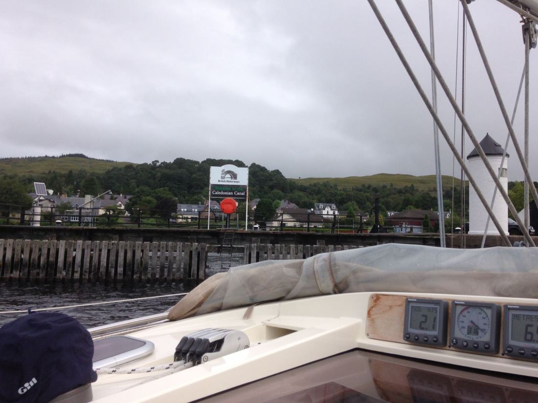 The entrance to the Caledonian Canal at Corpach ( near Fort William ) …the south western end.
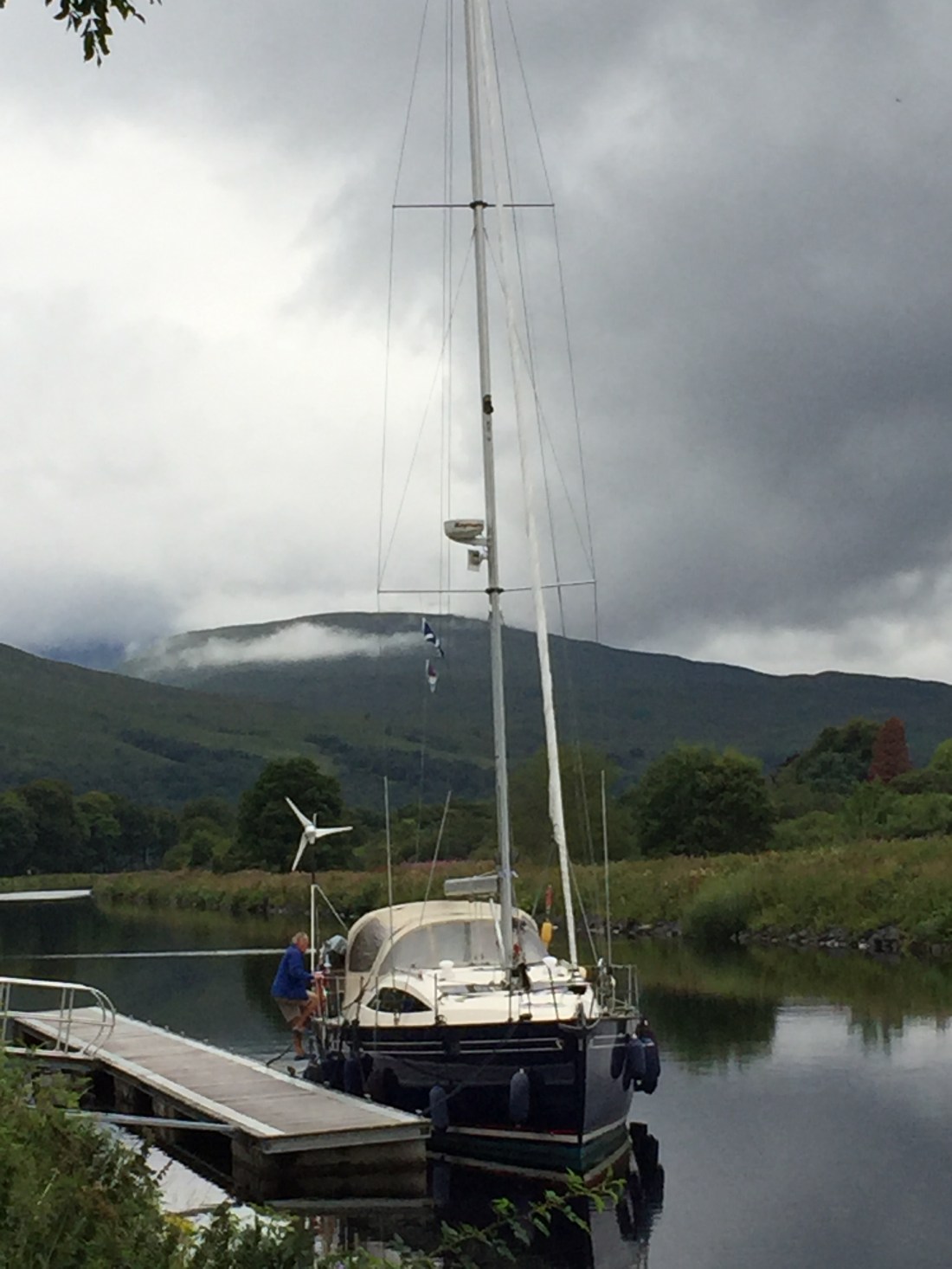 We finished the day here…at the Banavie Swing Bridges just below the seven locks of Neptune’s Staircase which we tackle tomorrow Friday. Chris getting on the boat…a peaceful mooring not 100 metres from the pub “Lochy” where we had our very late lunch/ early supper at 5.30pm. Back on the boat at 7pm….the rain is currently hammering down on the cockpit tent! Reminders of Oban.
Distance sailed today : 30.5 n. miles.
Distance from Eastbourne: 1,474.0 n. miles from Eastbourne.
On the road again…..and bigger smiles.
